
contact us
LOCATION+MAPS
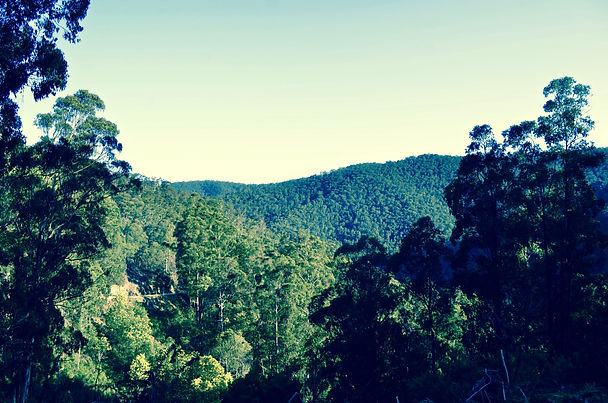
Located in Northeast Victoria, 120km from Melbourne, Woods Point is nestled in a mountainous historic goldfields region on the northern side of the Great Dividing Range. The township enjoys an unrivalled position bordering the Goulburn River with towering native trees and a unique remote serenity. Access is via a scenic drive that weaves it way through national parks and remote localities. Journey through the Marysville route, pasing through remote townships including Cambarville and Matlock in the south or take the popular northeast tourist route passing through the iconic destinations of Mansfield, Howqua, Jamieson and Kevington.
touring maps
LOCAL maps
It is imperative when touring our area by foot, bike, or four wheel drive that you have current maps for your reference.
SHOP ONLINE FOR HEMA MAPS
-
Print Maps
-
Digital Apps
-
4WD Map Apps (on + offline)
-
GPS + accessories
-
Books + Atlases
NEAREST LOCAL HEMA STOCKISTS
Country Tales High Street Mansfield T +613 5775 1701
High Country Parts and 4 X 4 Mt Buller Rd Mansfield T +613 5779 1900
ADVENTURE MAPS
Find print maps at your local service station or purchase from the Woods Point General Store
Links to Woods Point historic walks, local campsite areas, hunting + bushwalking maps